Cancel

OK


OK

Sign up for our

Newsletter

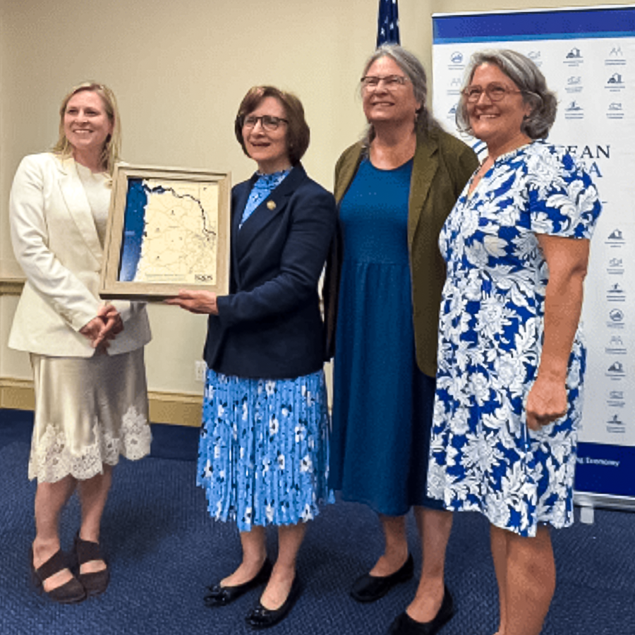
Welcome to NANOOS, the Northwest Association of Networked Ocean Observing Systems.
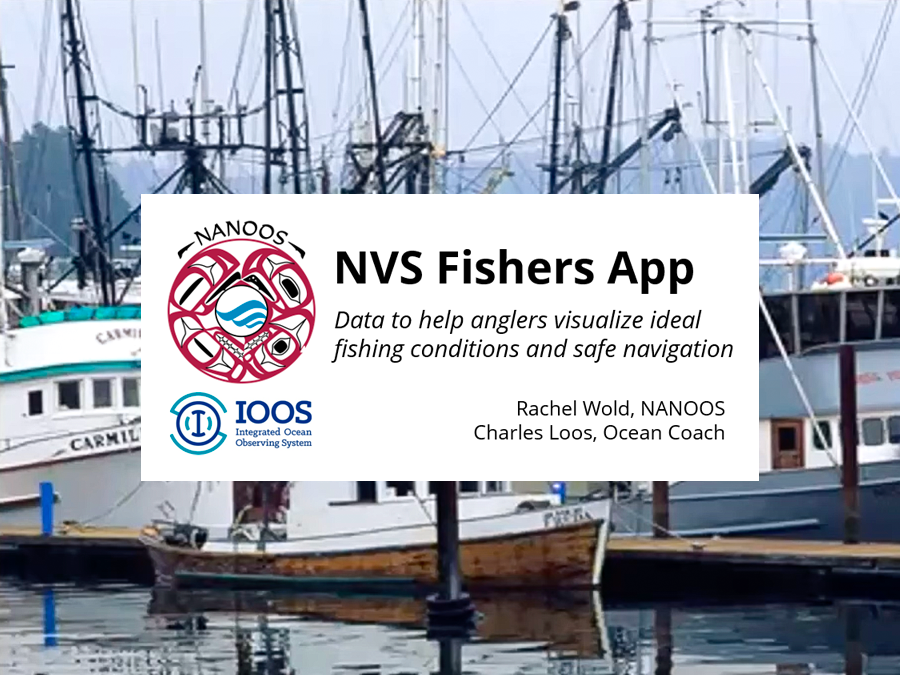
NANOOS Radar Data Helps USACE Improve Nearshore Storm Modeling

OSU-NANOOS data are supporting the US Army Corps of Engineers’ development of a high resolution nearshore storm modeling system for the West Coast. Data from the OSU X-band radar station on the USCG Yaquina Bay watchtower provides wave predictions and bottom bathymetry data useful to the model development. Additionally, OSU deployed four Sofar Spotter wave buoys with bottom-mounted pressure sensors last fall, ~1 km offshore Nye Beach in Newport, OR, within the operational radar footprint. The wave buoy data will be used as a ground-truth check on the radar-derived data products and also directly to support and evaluate the storm modeling system.

NANOOS Radar Data Helps USACE Improve Nearshore Storm Modeling

Go

2021 Puget Sound Marine Waters Overview

Go

NANOOS/NERRS Data Used in South Slough Student Research

Go

New Washington HFR Measuring Surface Currents!

Go

NANOOS Presentation for NOAA West Watch

Go

Backyard Buoys Awarded Cooperative Agreement with NSF

Go

Glider Deployment and Engagement

Go

New NVS "Customization" Capability

Go

New Warm SST Anomaly

Go

Tracking Harmful Algal Toxin off WA Coast

Go

Multi-Stressor Observations and Modeling

Go

PNW HAB Bulletin Supports Tribal Access to Razor Clams

Go

Understanding the Marine Heat Wave in the Pacific Northwest

Go

How Different Are Conditions?

Go

Areas of Emphasis

Quick Links

Regional Coastal Observing Systems

Alaska

Caribbean

Central and Northern California

Great Lakes

Gulf of Mexico

Pacific Islands

Mid-Atlantic

Atlantic - Northeast

Pacific Northwest

Southern California

Atlantic - Southeast